Introduction
Navigating using satellites is becoming common for personal and commercial use. It has numerous benefits make it an excellent choice to reach the destination on time. Moreover, it saves fuel, and you do not need to worry about going astray. Let’s discuss its application and why it is the go-to option.
The benefits of satellite use in navigation at a grand scale
The satellites will guide your vehicles to relevant addresses if you operate in a commercial entity. Furthermore, the owner can also track the order process. As a result, they enjoy less fuel expenses. Satellites used for navigation focus on routes that minimize time. They ensure safety so your business is reflected well in the community. In addition, the supervisor can manage the fleet better and supervise the driver’s ethics.
On the other hand, satellite navigation benefits private users who wish to travel from Destination A to Be. The satellite offers real-time information with detailed maps. The user can brown traffic data, intensity, and lead time. Moreover, the maps will also present multiple routes to get to the destination. As a result, you select the best option according to your requirements. In addition, each option will also suggest nearby fuel stations and restaurants. Some routes suggest a tourist attraction where you can relax before continuing the journey.

Link: https://www.pexels.com/photo/turned-on-black-gps-monitor-244822/
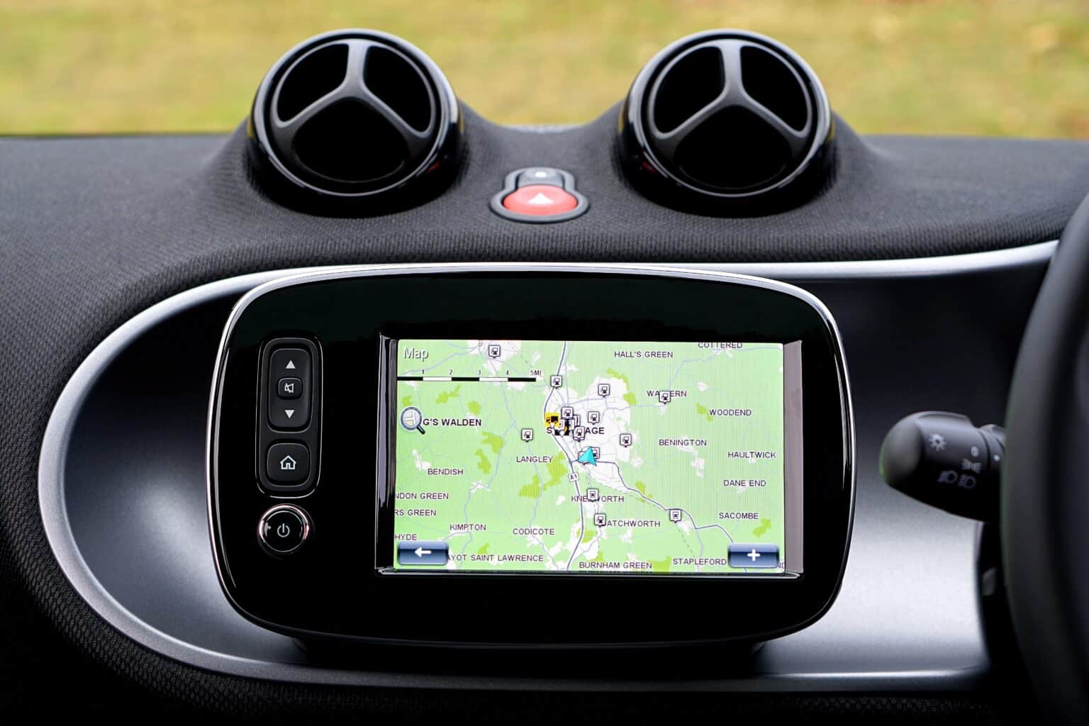
Satellite devices have diverse advantages for everyone. You can track entire fleets of tricks from a single terminal. The convenience is unmatched compared to traveling in a foreign terrain without knowledge. Satellite systems for navigation are available on many devices, such as cars and laptops. You can even connect a laptop with Wi-Fi on the go.
Time to talk about the cost of satellites in a navigation system
The internet-connected satellites for finding the best way for local and international travel have become popular in the last few years. This is because of GPS technology that travelers use frequently. The system tracks the user’s movements while they travel on the road, train, or in the air.
But is the technology time-saving?
A study reveals that the use of GPS has incredible economic advantages. The user saves more than ten percent of the total fuel costs. As a result, it is a cost-effective solution for long-distance travel. Efficient fuel consumption takes place because of technology with virtual mapping. In contrast, individuals who use traditional maps and ask for directions will likely waste time.
In addition to fuel saving, global satellites for navigation save time on the road. The orbiting device offers accurate directions to save time. Moreover, the traffic updates are also live, so you are not caged by vehicles. When using satellites for navigation, you enjoy the air and surroundings. It reduces stress. You forget about the anxiety. Lastly, you are pleased with the time saving too.
Satellites help users save money on tolls, and here is how. The user can reliably browse the toll charges when updated information is displayed on the screen. In addition, they can learn about the fees or their history. Thus, their travel includes the minimum toll fees. The preparedness does not offset the budget. The strategy is advised for drivers crossing international boundaries or traveling long distances. Otherwise, the limitation of cash becomes annoying and overwhelming very fast.
Thanks to the discussion above, we can safely conclude that satellite navigation is a cost-effective feature. It offers real-time information about traffic, tolls, and obstruction. At the same time, the users can pick the route that suits them the best. You save time and money. Next time you are on a long-distance journey, use GPS.
Analyzing the security aspect
While satellites have many advantages for navigation, many argue that one letdown can bring it all down. Navigation is a necessary infrastructure for any economy. It involves roads, trains, shipping, and telecommunication.
Therefore, using satellites in navigation must be implemented after studying their risks. Satellite navigation can be penetrated in many ways. There is spoofing, cyber-attacks, jamming, and other threats involved.
- If you do not know about spoofing, it involves sending a fabricated signal to the satellite. In turn, the navigation system will provide wrongful or misleading information to the user. The satellite will eventually be shut down to fix the error.
- Secondly, jamming means intentionally blocking the satellite signals. The navigation systems fail. In the meantime, the malicious intruders will use the distraction to access data. The sensitive information is not public because it influences the system or the economy.
Even though the threats seem benign, they are extremely dangerous to national security. If successful, these risks can lead to nationwide disturbance and safety concerns. Let’s learn with an example.
A nation’s satellite system was compromised. Many say it was because of political espionage. Now the country faces disruptions in air travel because flights cannot take off. The export shipment is delayed. And the telecommunication towels are worthless.
The threat focused on specific locations and areas to collect data linked to the nation’s security. Now it is not an advantage of military strategies.
The Potential Letdowns of Satellites in Navigation
The first industry that will face drastic backlash from the absence of satellite information is automotive. Modern-day cars, trucks, and other vehicles rely on navigation systems to provide accurate information to the user. Unfortunately, the signals are disrupted in dense natural areas. Manufactured tall buildings also block signals. You will complain of no satellite signals in high mountainous areas too.
Secondly, the aviation industry is likely to feel challenges too. Airplanes rely on electronic signals to guide the vessel to its destination. If anything was to disrupt the airplane’s navigation system, it could create a communication lag between the aircraft and the staff on the ground.
Thirdly, navigation systems based on satellite information are very expensive. Moreover, they are costly to maintain too. Moreover, the satellites require timely updates to ensure the data is accurate.
What are your two cents?
The organizations must implement important changes that safeguard the navigation system’s integrity. Common practices are encryption, credentials, and authentication channels. As a result, organizations can safely combat vulnerabilities. The navigation system will not fail and will provide excellent use to safeguard sensitive data.