

The Impact of Satellite Technology on Energy Exploration in the EMEA Region
Introduction
Satellite technology has the potential to revolutionise the field of energy exploration, particularly in the Europe, Middle East, and Africa (EMEA) region. This technological advancement has changed the way the EMEA energy sector operates, offering unparalleled opportunities for efficiency, cost-effectiveness, and sustainability. This article covers the impact of satellite technology on energy exploration in the EMEA region, focusing on key aspects such as satellite data utilisation, oil and gas exploration, energy resource mapping and the role of remote sensing.
How Satellite Data is Revolutionising the Energy Industry
Satellite technology is revolutionary for data gathering and analysis within the energy sector. Satellites equipped with various specialised sensors and imaging technologies provide explorers with a bird’s-eye view of previously inaccessible energy-rich regions, offering a comprehensive understanding of untapped resources.
These satellites capture high-resolution imagery and data of these regions, enabling precise assessments of geological formations, vegetation cover and water sources.
Enhancing Efficiency and Cost-Effectiveness
One of the most significant impacts of satellite technology is the substantial improvement in operational efficiency and cost-effectiveness when it comes to energy exploration. Previously, conventional methods of exploration and research involved sending large teams to complete extensive ground surveys and physical inspections. This was a labour intensive and resource-heavy task that was both time consuming and costly, with numerous logistical issues to overcome.
Satellites, on the other hand, assist with rapid and extensive coverage, enabling us to explore vast stretches of land with speed and attention to detail. This innovative technology reduces the need for visits to remote and challenging sites and significantly cuts costs associated with exploration projects. This frees up vital resources for the actual analysis and decision-making stages, streamlining the overall operational efficiency.
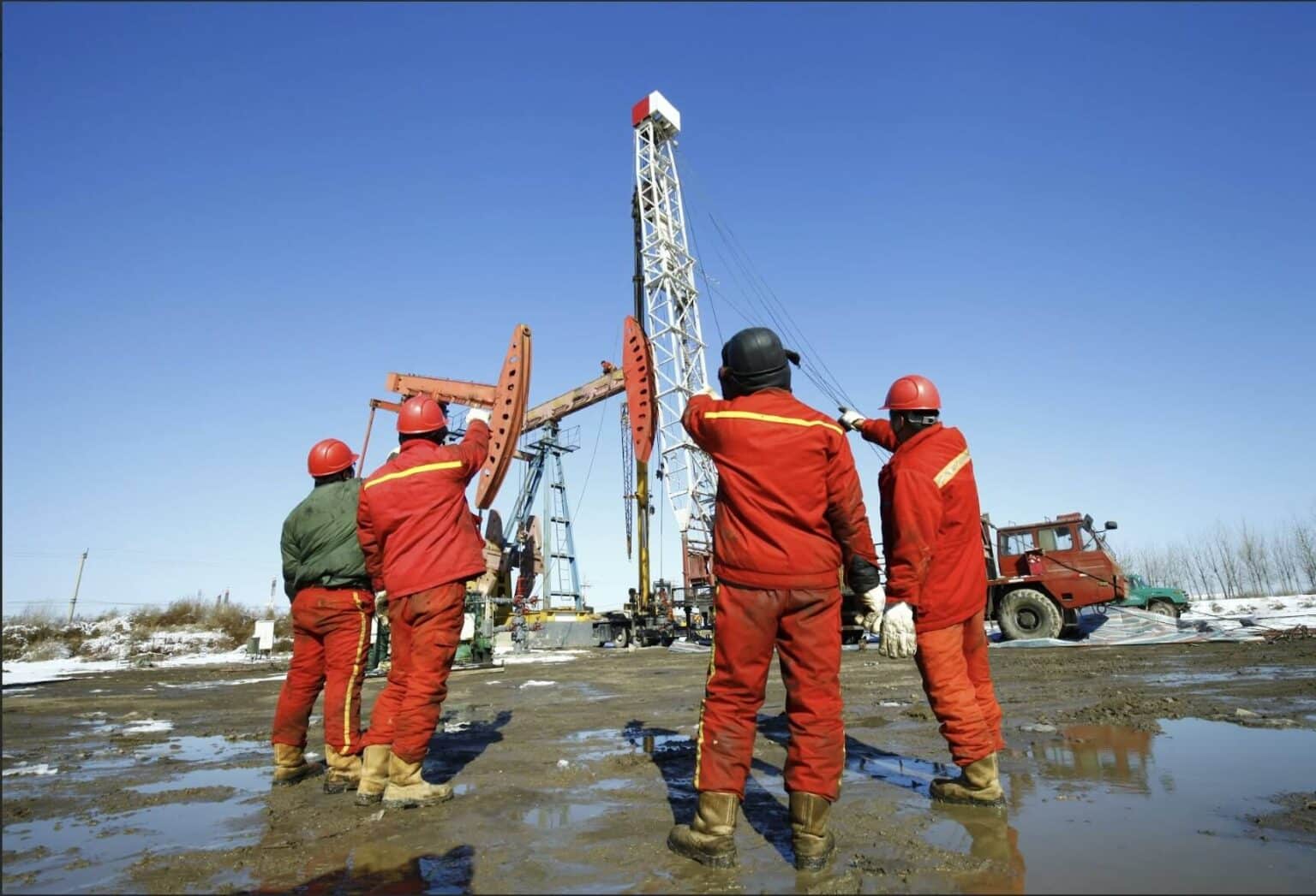
Oil and Gas Exploration via Satellite
The EMEA region includes diverse and often difficult terrains that pose as obstacles to traditional exploration methods. Satellites allow targeted prospecting in the most challenging of environments, from vast stretches of deserts to offshore drilling sites.
The satellite technology equips explorers with a precision that is unparalleled, allowing for targeted research even in the harshest and most remote environments. Advanced radar and infrared imaging technologies, integrated into the satellites, enable exploration to continue through common elements such as cloud cover, dust storms and other natural barriers, providing an unobstructed view of our geology.
Satellite technology also plays a crucial role in the monitoring and management of our existing oil and gas infrastructure. Continuous monitoring helps identify potential leaks, pipeline corrosion and other maintenance issues, improving operational safety and reducing environmental risks.
Energy Resource Mapping
Satellite technology plays a pivotal role in bypassing challenging terrains and logistical barriers to increase the exploration efforts of energy companies. Its advanced capabilities allow for the detection of previously inaccessible resource reservoirs. Through spectral analysis, satellites are equipped to decipher the chemical composition of surface materials, shedding light on potential energy deposits.
One of the key applications of satellite technology is in geological modelling. With high-resolution imagery and algorithms, satellites can create detailed maps of the earth’s surface. This information then enables energy companies to make informed decisions about drilling locations and extraction techniques, improving efficiency and minimising environmental impact.
Beyond traditional fossil fuel exploration, satellite technology is also at the forefront of revolutionising the utilisation of renewable energy sources. Solar and wind energy, in particular, can benefit from satellite technology. By analysing factors such as solar irradiance, wind speed and terrain characteristics, satellites provide data for the strategic positioning of renewable energy projects.
Additionally, this technology can identify ideal locations for energy storage facilities, further enhancing the efficiency and reliability of renewable energy systems and mitigating our environmental impact.
Remote Sensing in Energy Exploration
Satellites equipped with advanced remote sensing capabilities play an important role in monitoring the environmental impact of our energy exploration activities. They can track changes in land use, vegetation cover and water bodies, allowing for early detection of potential ecological disturbances.
This proactive approach provides energy companies with the knowledge and insight needed to respond quickly and effectively implement mitigation measures, moving operations away from any environmentally sensitive areas and ensuring the safeguarding of habitats. Furthermore, it enables companies to adhere to all current regulations, encouraging responsible and sustainable energy exploration.
Disaster Response and Recovery
In addition to exploration, satellite technology aids in disaster response and recovery efforts within the energy sector. In the event of natural disasters, such as hurricanes or earthquakes, satellites provide real-time imagery and data, allowing for a rapid assessment of damage to infrastructure.
This information allows first responders, emergency teams and energy companies to coordinate response efforts and recovery operations. The high-resolution imagery offers an unparalleled view of the affected areas, allowing for accurate assessments of the damage inflicted.
Satellite technology’s real-time ability also enables resources to be strategically deployed to the most affected areas, ensuring that aid reaches those who require it urgently. Furthermore, the ability for rapid assessment is essential for the process of restoring power and functionality to affected communities.
Conclusion
Satellite technology creates a new era of efficiency, accuracy, and sustainability in energy exploration within the EMEA region. Using satellite data, energy companies can target prospective reserves with precision. Energy resource mapping and remote sensing capabilities enable the industry to make informed decisions while minimising the impact on our planet. As satellite technology continues to evolve, its role in the future of energy exploration in the EMEA region will only become more pronounced, promoting sustainable growth in the years to come.
Global Satellite leverages advanced satellite technology to offer a comprehensive suite of services tailored to your exploration. Our satellite data solutions provide unprecedented insights, enabling precise targeting of potential resources and optimising operational efficiency.
Whether it’s oil and gas exploration, energy resource mapping, or environmental monitoring, Global Satellite is ready to elevate your operations. With a track record of reliability and innovation, we are committed to driving sustainable growth in the EMEA energy sector.
Contact us today via email alan@globalsatellite.gi or phone +350 225 00796 to discuss your specific needs with a member of our team.
Recent Posts


+13459387827
webcontact@globalsatellite.us
